
CMAR collects and compiles a variety of data in support of its research projects, with a focus on Nova Scotia and Maritime waters. By compiling, curating, and sharing this information publicly, we support research, informed decision-making, and the long-term stewardship of the province’s coastal resources.

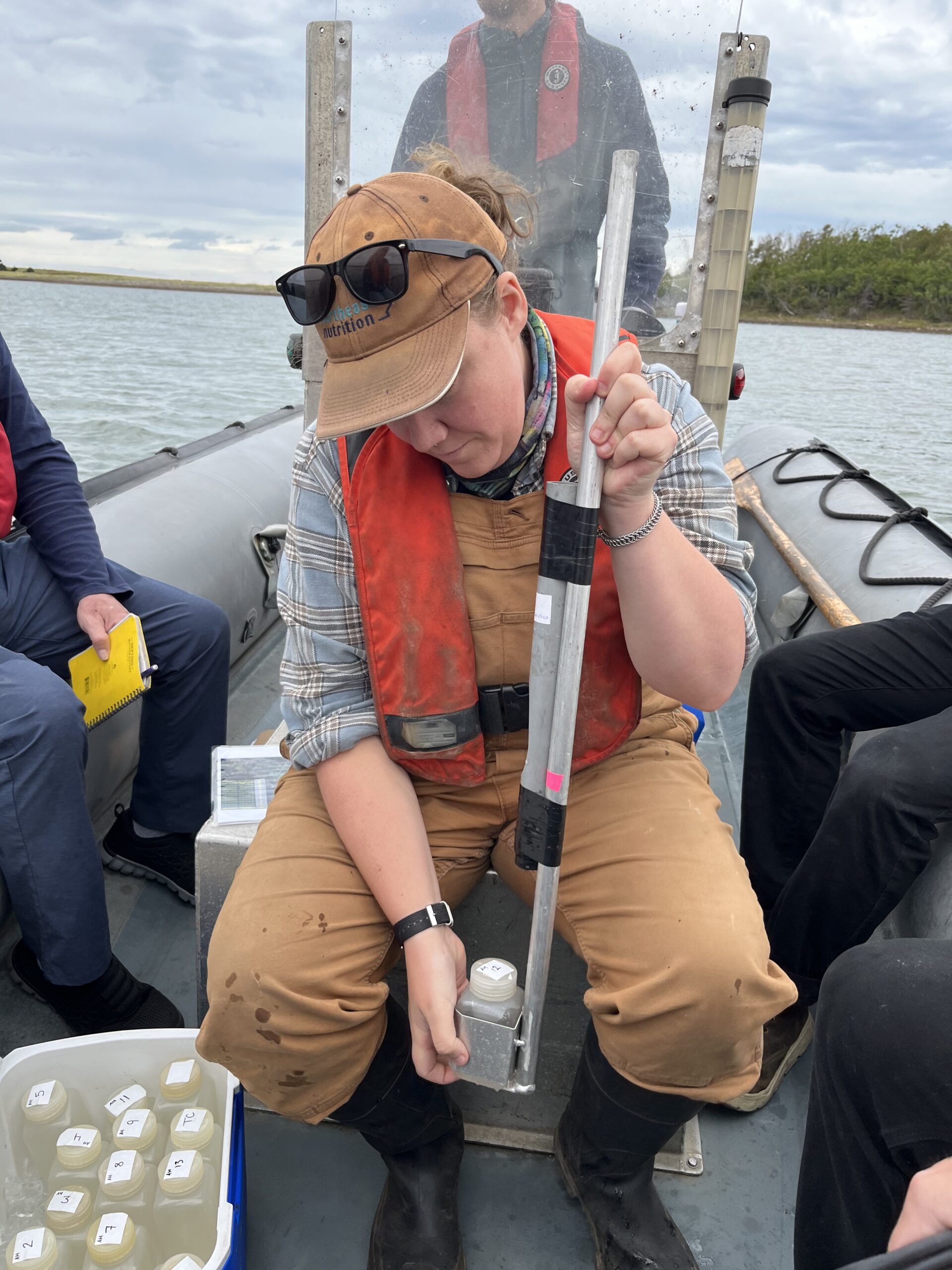
CMAR collects high-resolution data on Essential Ocean Variables to guide government policy, promote environmental stewardship, and enhance climate change preparedness. Monitoring focuses within 1 km of the shore at depths of 0–70 m and has recently expanded to include inland lakes and rivers.

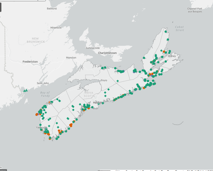
CMAR developed and maintains a mapping tool with over 40 layers of coastal infrastructure data to inform business and government decision-making.
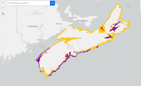
CMAR played a key role in creating Nova Scotia’s Coastal Classification System (CCS). This science-based, non-regulatory planning tool helps communities, industry, and decision-makers better understand coastal environments and supports transparent aquaculture planning for finfish and shellfish.